History and Archaeology
In olden days the settled landscape in the Yarkon River area was completely different from the one we know today.
The Yarkon River now crosses the most densely populated area in the State of Israel, which is subject to rapid development processes. This was not the case in earlier periods. The hills sprawling on both sides of the valley in which the river flows were almost unsettled. The same was true for the valley itself, which was muddy and overgrown with river vegetation, lacking convenient routes of transportation and mostly uncomfortable for agricultural cultivation.
The Yarkon basin is also worthy of examination in terms of its value as a transport axis, as part of the road system of the entire Land of Israel. The main road, called “Via Maris”, passed along the Eastern rim of the Yarkon Basin, in the narrow, strategic “Afek Passage”, wedged between the springs and the mountain’s edge. The road diverted to this area due to the geographical roadblock created by the wooded red loam hills, the Yarkon River and the sand dunes on the central and western part of the coastal plain. Therefore, there were almost no lengthways or crossways crossing the Yarkon Stream. In the west, along the shoreline, was another international road whose relative importance went up or down in accordance with the power of the settlement. During most historical periods this road crossed the Yarkon at its estuary, near the Reading power plant today.

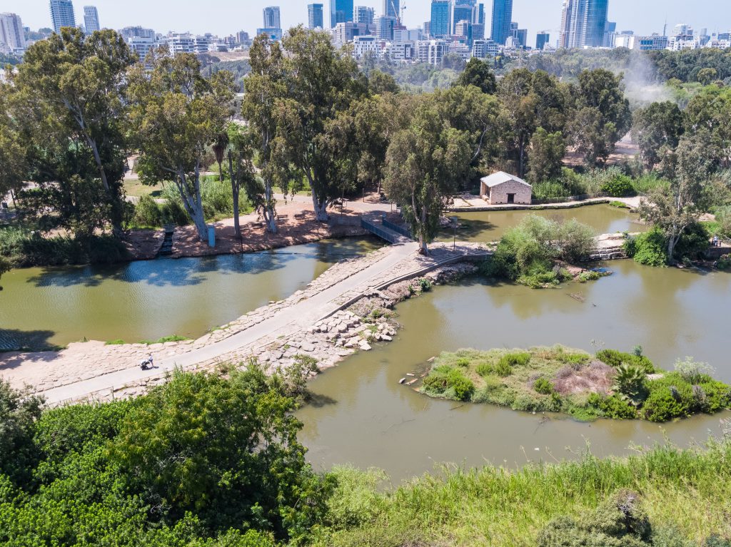
Seven mills site – Tel Aviv-Yafo
When settlers began arriving, they naturally turned to unsettled areas and to areas which required great effort in preparing them for settlement- the coastal plain and the inner valleys. This is where the first collision occurred between the rivers and human activity, which did not acclimate itself to the forces of nature, and in many cases even worked against it.
The location of the large centers of settlement was in flat plains which suffered from drainage problems due to the geomorphology of the coastal plain and the inner valleys. In ancient times many water plants were built, which made use of the water but required building dams in order to create the height differences necessary for creating energy. In most cases cities were not built in close proximity to the water plants, but at distances where the land was high enough so as to avoid flooding. The Romans acted to solve the drainage issues of the Poleg River by creating artificial dams for draining the water.
The Yarkon River Authority
Adress: Kiryat Atidim Building B7, 2rd floor
Mailing address: P.O. 58292
Phone: 03-5460233
Email: [email protected]